Cullompton: Tiverton Road
Introduction
The photograph on this page of Cullompton: Tiverton Road by Martin Bodman as part of the Geograph project.
The Geograph project started in 2005 with the aim of publishing, organising and preserving representative images for every square kilometre of Great Britain, Ireland and the Isle of Man.

There are currently over 7.5m images from over 14,400 individuals and you can help contribute to the project by visiting https://www.geograph.org.uk
Cullompton: Tiverton Road
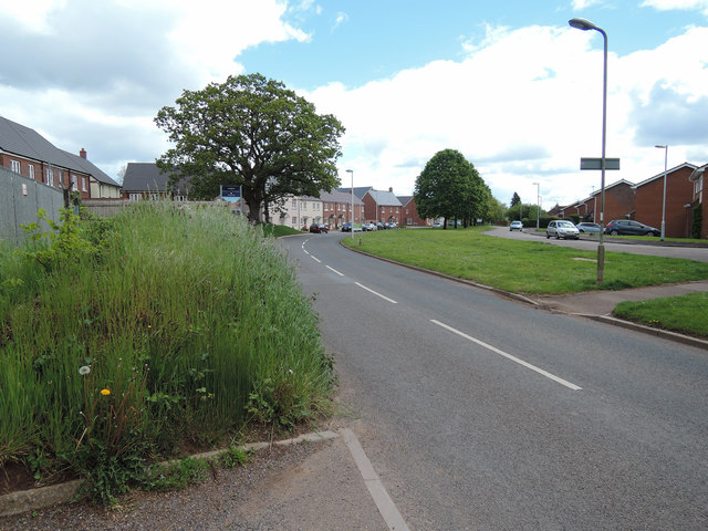
Image: © Martin Bodman Taken: 12 May 2014
Looking towards Olympian Way on the left, a recent housing development by Millwood
Images are licensed for reuse under creativecommons.org/licenses/by-sa/2.0
Image Location


Leaflet Map data © OpenStreetMap
Latitude
50.85902
Longitude
-3.402851