Fly Tipping, Dungrovehill Wood
Introduction
The photograph on this page of Fly Tipping, Dungrovehill Wood by Des Blenkinsopp as part of the Geograph project.
The Geograph project started in 2005 with the aim of publishing, organising and preserving representative images for every square kilometre of Great Britain, Ireland and the Isle of Man.

There are currently over 7.5m images from over 14,400 individuals and you can help contribute to the project by visiting https://www.geograph.org.uk
Fly Tipping, Dungrovehill Wood
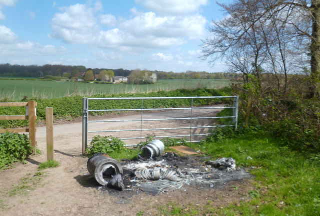
Image: © Des Blenkinsopp Taken: 14 Apr 2014
The trouble is, if you were a land owner and nailed these people to the nearest tree, you'd probably get arrested.... Even if it was your tree...
Images are licensed for reuse under creativecommons.org/licenses/by-sa/2.0
Image Location
Latitude
51.539824
Longitude
-0.779963