Fork in the path, Rushcliffe Country Park
Introduction
The photograph on this page of Fork in the path, Rushcliffe Country Park by Richard Vince as part of the Geograph project.
The Geograph project started in 2005 with the aim of publishing, organising and preserving representative images for every square kilometre of Great Britain, Ireland and the Isle of Man.

There are currently over 7.5m images from over 14,400 individuals and you can help contribute to the project by visiting https://www.geograph.org.uk
Fork in the path, Rushcliffe Country Park
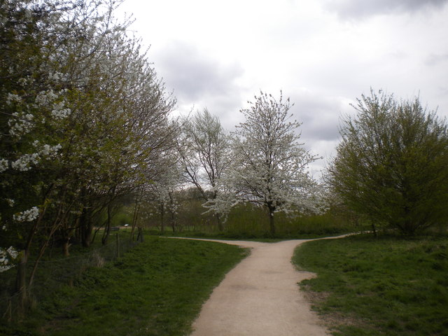
Image: © Richard Vince Taken: 12 Apr 2014
Here, the path alongside the southern part of Ruddington Business Park forks to form a triangular junction with the path along the southern edge of the country park.
Images are licensed for reuse under creativecommons.org/licenses/by-sa/2.0
Image Location
Latitude
52.879524
Longitude
-1.147486