Brogdale Road, Whitehill
Introduction
The photograph on this page of Brogdale Road, Whitehill by Penny Mayes as part of the Geograph project.
The Geograph project started in 2005 with the aim of publishing, organising and preserving representative images for every square kilometre of Great Britain, Ireland and the Isle of Man.

There are currently over 7.5m images from over 14,400 individuals and you can help contribute to the project by visiting https://www.geograph.org.uk
Brogdale Road, Whitehill
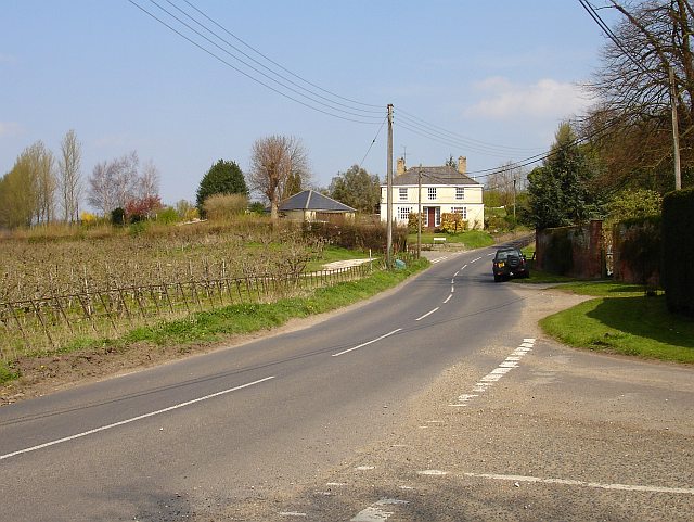
Image: © Penny Mayes Taken: 9 Apr 2007
From its junction with Plumford Road. Vicarage Road is the turning on the left by the white house. Whitehill House is behind the hedge on the right.
Images are licensed for reuse under creativecommons.org/licenses/by-sa/2.0
Image Location
Latitude
51.298197
Longitude
0.868603