Path by the churchyard, Shirehampton
Introduction
The photograph on this page of Path by the churchyard, Shirehampton by Derek Harper as part of the Geograph project.
The Geograph project started in 2005 with the aim of publishing, organising and preserving representative images for every square kilometre of Great Britain, Ireland and the Isle of Man.

There are currently over 7.5m images from over 14,400 individuals and you can help contribute to the project by visiting https://www.geograph.org.uk
Path by the churchyard, Shirehampton
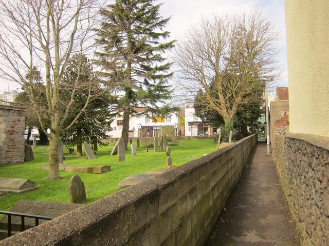
Image: © Derek Harper Taken: 29 Mar 2014
BCC/56/10 runs between Pembroke Road and the High Street alongside the churchyard of St Mary's.
Images are licensed for reuse under creativecommons.org/licenses/by-sa/2.0
Image Location


Leaflet Map data © OpenStreetMap
Latitude
51.489095
Longitude
-2.676307