Shirehampton Cemetery
Introduction
The photograph on this page of Shirehampton Cemetery by Derek Harper as part of the Geograph project.
The Geograph project started in 2005 with the aim of publishing, organising and preserving representative images for every square kilometre of Great Britain, Ireland and the Isle of Man.

There are currently over 7.5m images from over 14,400 individuals and you can help contribute to the project by visiting https://www.geograph.org.uk
Shirehampton Cemetery
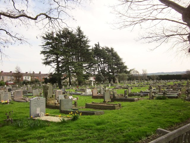
Image: © Derek Harper Taken: 29 Mar 2014
The cemetery was opened in 1898. this view is from its northern corner at the junction of St Mary's Road and St Mary's Walk.
Images are licensed for reuse under creativecommons.org/licenses/by-sa/2.0
Image Location
Latitude
51.489612
Longitude
-2.680203