Kilchoman cross and Creag Mh?r
Introduction
The photograph on this page of Kilchoman cross and Creag Mh?r by Rob Farrow as part of the Geograph project.
The Geograph project started in 2005 with the aim of publishing, organising and preserving representative images for every square kilometre of Great Britain, Ireland and the Isle of Man.

There are currently over 7.5m images from over 14,400 individuals and you can help contribute to the project by visiting https://www.geograph.org.uk
Kilchoman cross and Creag Mh?r
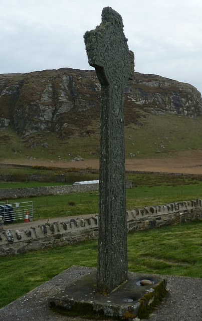
Image: © Rob Farrow Taken: 9 Apr 2014
Creag Mhòr ("Big Crag") forms a dramatic backdrop for the C15th cross in the churchyard of the ruinous Kilchoman parish church. See shared description below.
Images are licensed for reuse under creativecommons.org/licenses/by-sa/2.0
Image Location
Latitude
55.781804
Longitude
-6.441619