Cycle route to Brynaman
Introduction
The photograph on this page of Cycle route to Brynaman by Alan Bowring as part of the Geograph project.
The Geograph project started in 2005 with the aim of publishing, organising and preserving representative images for every square kilometre of Great Britain, Ireland and the Isle of Man.

There are currently over 7.5m images from over 14,400 individuals and you can help contribute to the project by visiting https://www.geograph.org.uk
Cycle route to Brynaman
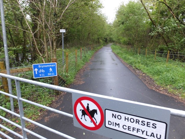
Image: © Alan Bowring Taken: 10 May 2014
Or indeed 'Brynamman' as the sign would have it. This (in May 2014) is one of the most recently opened sections of the route through Dyffryn Aman and also gives access to those on foot too to a previously more secretive section of the river valley.
Images are licensed for reuse under creativecommons.org/licenses/by-sa/2.0
Image Location
Latitude
51.80362
Longitude
-3.898876