Borough High Street Vicinity, SE1
Introduction
The photograph on this page of Borough High Street Vicinity, SE1 by David Hallam-Jones as part of the Geograph project.
The Geograph project started in 2005 with the aim of publishing, organising and preserving representative images for every square kilometre of Great Britain, Ireland and the Isle of Man.

There are currently over 7.5m images from over 14,400 individuals and you can help contribute to the project by visiting https://www.geograph.org.uk
Borough High Street Vicinity, SE1
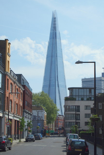
Image: © David Hallam-Jones Taken: 5 May 2014
Taken from the junction with Pepper Street, a view eastwards along Union Street. Here spectators are looking towards Borough High Street, with The Shard - next to London Bridge Station - in the distance. Union Street (i.e. the B200 Road) links Borough High Street with Blackfriars and became Union Street to reflect the fact that it marks the boundary between the two local parishes in the area.
Images are licensed for reuse under creativecommons.org/licenses/by-sa/2.0
Image Location
Latitude
51.503845
Longitude
-0.096948