House at Pinkneys Green
Introduction
The photograph on this page of House at Pinkneys Green by Des Blenkinsopp as part of the Geograph project.
The Geograph project started in 2005 with the aim of publishing, organising and preserving representative images for every square kilometre of Great Britain, Ireland and the Isle of Man.

There are currently over 7.5m images from over 14,400 individuals and you can help contribute to the project by visiting https://www.geograph.org.uk
House at Pinkneys Green
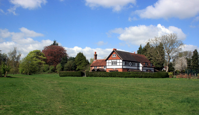
Image: © Des Blenkinsopp Taken: 13 Apr 2014
This is on the edge of Pinkneys Green village overlooking the National Trust's Maidenhead Thicket.Pinkneys Green seems to have held on to its village feel despite now being joined on to the very suburban outskirts of Maidenhead.
Images are licensed for reuse under creativecommons.org/licenses/by-sa/2.0
Image Location
Latitude
51.528482
Longitude
-0.770175