Demolition behind Maidstone Ambulance Station
Introduction
The photograph on this page of Demolition behind Maidstone Ambulance Station by Danny P Robinson as part of the Geograph project.
The Geograph project started in 2005 with the aim of publishing, organising and preserving representative images for every square kilometre of Great Britain, Ireland and the Isle of Man.

There are currently over 7.5m images from over 14,400 individuals and you can help contribute to the project by visiting https://www.geograph.org.uk
Demolition behind Maidstone Ambulance Station
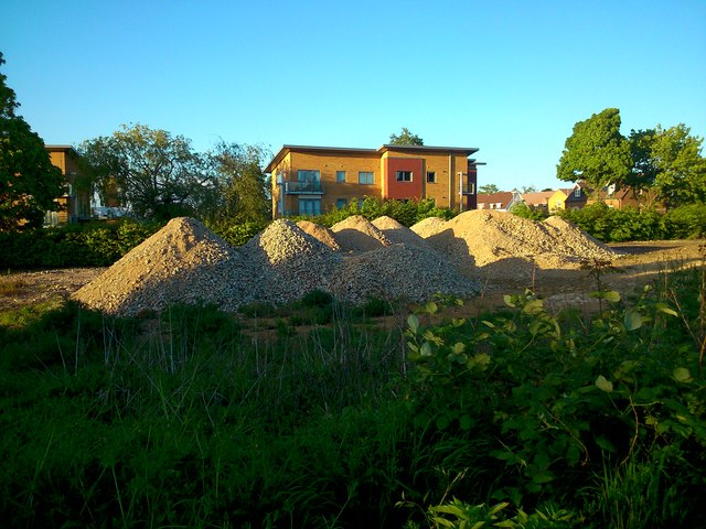
Image: © Danny P Robinson Taken: 6 May 2014
Viewed from the car park behind the Loose Road shops. This was once an ambulance service building, the site is now about to be redeveloped. The residential buildings in the picture are all too new to appear on the current 1:25000 OS map.
Images are licensed for reuse under creativecommons.org/licenses/by-sa/2.0
Image Location
Latitude
51.252892
Longitude
0.528257