Masons Arms under scaffolding, Warminster
Introduction
The photograph on this page of Masons Arms under scaffolding, Warminster by Jaggery as part of the Geograph project.
The Geograph project started in 2005 with the aim of publishing, organising and preserving representative images for every square kilometre of Great Britain, Ireland and the Isle of Man.

There are currently over 7.5m images from over 14,400 individuals and you can help contribute to the project by visiting https://www.geograph.org.uk
Masons Arms under scaffolding, Warminster
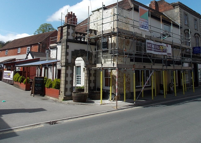
Image: © Jaggery Taken: 9 May 2014
Viewed across East Street in early May 2014. A banner on the wall shows that the Masons Arms is still open during its major refurbishment.
Images are licensed for reuse under creativecommons.org/licenses/by-sa/2.0
Image Location
Latitude
51.203806
Longitude
-2.177868