Field Street, Upper Bangor
Introduction
The photograph on this page of Field Street, Upper Bangor by David Stowell as part of the Geograph project.
The Geograph project started in 2005 with the aim of publishing, organising and preserving representative images for every square kilometre of Great Britain, Ireland and the Isle of Man.

There are currently over 7.5m images from over 14,400 individuals and you can help contribute to the project by visiting https://www.geograph.org.uk
Field Street, Upper Bangor
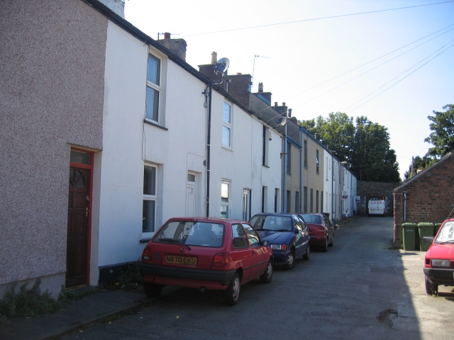
Image: © David Stowell Taken: 17 Aug 2005
There are several streets of these Victorian terraced houses in Upper Bangor and their proximity to the University makes them popular as student housing.
Images are licensed for reuse under creativecommons.org/licenses/by-sa/2.0
Image Location


Leaflet Map data © OpenStreetMap
Latitude
53.227644
Longitude
-4.137645