Greenwich Cemetery, Eltham SE9
Introduction
The photograph on this page of Greenwich Cemetery, Eltham SE9 by David Hallam-Jones as part of the Geograph project.
The Geograph project started in 2005 with the aim of publishing, organising and preserving representative images for every square kilometre of Great Britain, Ireland and the Isle of Man.

There are currently over 7.5m images from over 14,400 individuals and you can help contribute to the project by visiting https://www.geograph.org.uk
Greenwich Cemetery, Eltham SE9
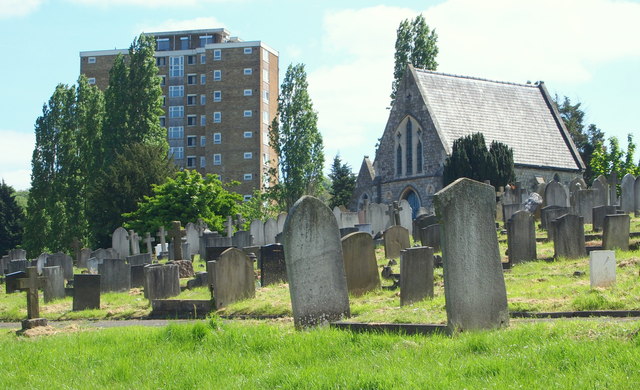
Image: © David Hallam-Jones Taken: 3 May 2014
A block of flats and one of the cemetery's two chapels-of-rest is seen here occupying this flatter part of the Well Hall Road vicinity before the land is seen to begin to slope downhill towards Mayday Gardens, a residential street on the north-western boundary of the cemetery.
Images are licensed for reuse under creativecommons.org/licenses/by-sa/2.0
Image Location
Latitude
51.467458
Longitude
0.050411