South Cockerington: aerial 2014
Introduction
The photograph on this page of South Cockerington: aerial 2014 by Chris as part of the Geograph project.
The Geograph project started in 2005 with the aim of publishing, organising and preserving representative images for every square kilometre of Great Britain, Ireland and the Isle of Man.

There are currently over 7.5m images from over 14,400 individuals and you can help contribute to the project by visiting https://www.geograph.org.uk
South Cockerington: aerial 2014
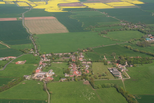
Image: © Chris Taken: 3 May 2014
Looking eastwards. Mill Hill Way (part of the Midmarsh Road) runs around the top towards Grimoldby. Marsh Lane leads eastwards from the left with Northgate Lane parallel to it on the right.
Images are licensed for reuse under creativecommons.org/licenses/by-sa/2.0
Image Location
Latitude
53.379546
Longitude
0.074059