Cyclists on the old A6091 at Eildon village
Introduction
The photograph on this page of Cyclists on the old A6091 at Eildon village by Oliver Dixon as part of the Geograph project.
The Geograph project started in 2005 with the aim of publishing, organising and preserving representative images for every square kilometre of Great Britain, Ireland and the Isle of Man.

There are currently over 7.5m images from over 14,400 individuals and you can help contribute to the project by visiting https://www.geograph.org.uk
Cyclists on the old A6091 at Eildon village
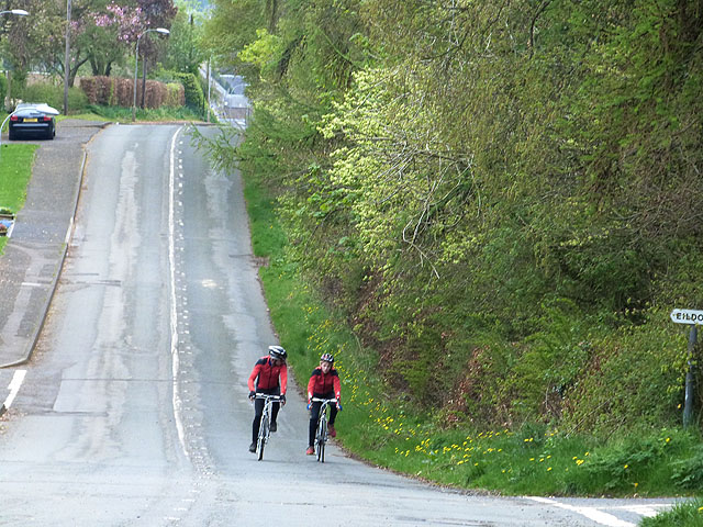
Image: © Oliver Dixon Taken: 5 May 2014
The hilly and tortuous A6091 Melrose to Newtown St Boswells Road was closed when the new Melrose By-pass was built. The road now forms an attractive if hilly route for walkers on the Borders Abbeys Way and for cyclists on National Cycle Network route 1.
Images are licensed for reuse under creativecommons.org/licenses/by-sa/2.0
Image Location
Latitude
55.584257
Longitude
-2.679733