"Raped"
Introduction
The photograph on this page of "Raped" by Chris as part of the Geograph project.
The Geograph project started in 2005 with the aim of publishing, organising and preserving representative images for every square kilometre of Great Britain, Ireland and the Isle of Man.

There are currently over 7.5m images from over 14,400 individuals and you can help contribute to the project by visiting https://www.geograph.org.uk
"Raped"
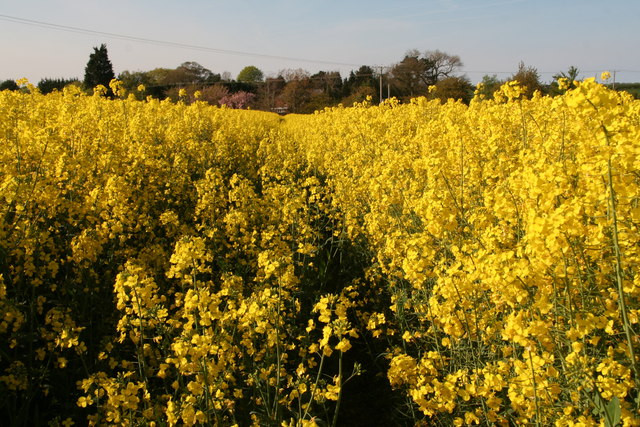
Image: © Chris Taken: 3 May 2014
Having battled my way several hundred metres along the path, I could no longer even see over the top, so reluctantly turned for home.
Images are licensed for reuse under creativecommons.org/licenses/by-sa/2.0
Image Location
Latitude
53.275044
Longitude
0.191536