Cycle Path (Chafford Hundred)
Introduction
The photograph on this page of Cycle Path (Chafford Hundred) by Glyn Baker as part of the Geograph project.
The Geograph project started in 2005 with the aim of publishing, organising and preserving representative images for every square kilometre of Great Britain, Ireland and the Isle of Man.

There are currently over 7.5m images from over 14,400 individuals and you can help contribute to the project by visiting https://www.geograph.org.uk
Cycle Path (Chafford Hundred)
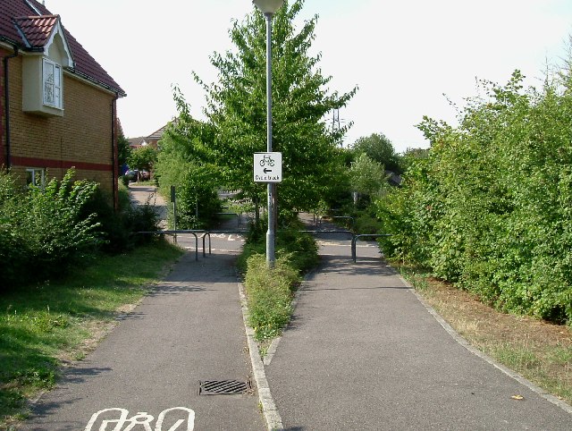
Image: © Glyn Baker Taken: 18 Aug 2005
The Chafford Hundred development is well supplied with cycle paths well divided from walkways
Images are licensed for reuse under creativecommons.org/licenses/by-sa/2.0
Image Location
Latitude
51.491611
Longitude
0.313393