Western boundary of Backwell
Introduction
The photograph on this page of Western boundary of Backwell by Jaggery as part of the Geograph project.
The Geograph project started in 2005 with the aim of publishing, organising and preserving representative images for every square kilometre of Great Britain, Ireland and the Isle of Man.

There are currently over 7.5m images from over 14,400 individuals and you can help contribute to the project by visiting https://www.geograph.org.uk
Western boundary of Backwell
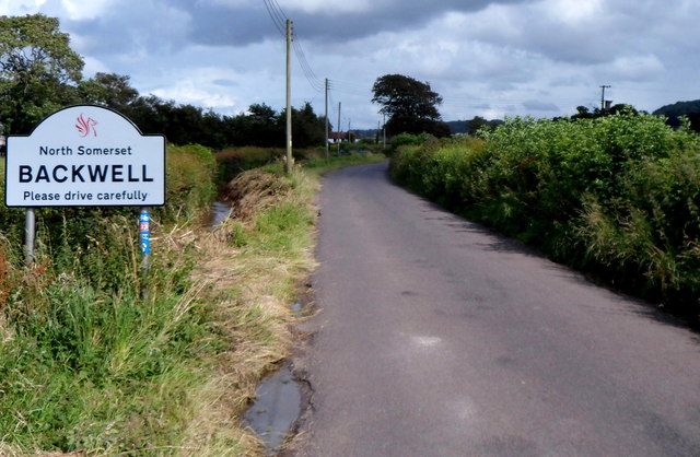
Image: © Jaggery Taken: 13 Jul 2012
East of Nailsea, Backwell Bow reaches the boundary sign for Backwell, North Somerset. A sticker on a boundary sign post shows that this is part of National Cycle Network route 33.
Images are licensed for reuse under creativecommons.org/licenses/by-sa/2.0
Image Location
Latitude
51.429844
Longitude
-2.735414