Derelict farmhouse besides the A1
Introduction
The photograph on this page of Derelict farmhouse besides the A1 by Eric Jones as part of the Geograph project.
The Geograph project started in 2005 with the aim of publishing, organising and preserving representative images for every square kilometre of Great Britain, Ireland and the Isle of Man.

There are currently over 7.5m images from over 14,400 individuals and you can help contribute to the project by visiting https://www.geograph.org.uk
Derelict farmhouse besides the A1
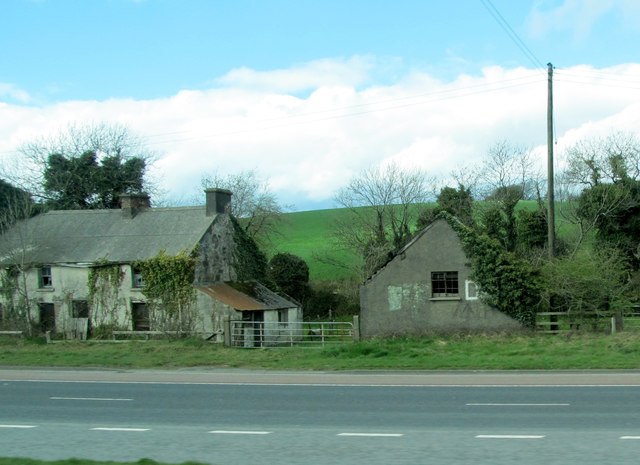
Image: © Eric Jones Taken: 2 Apr 2011
This is situated just south of the junction with Waringsford Road. It also faces across the road the large Tullyraine Aggregate Quarries. http://tullyrainequarries.co.uk/
Images are licensed for reuse under creativecommons.org/licenses/by-sa/2.0
Image Location
Latitude
54.360573
Longitude
-6.230007