Land Field
Introduction
The photograph on this page of Land Field by Simon Carey as part of the Geograph project.
The Geograph project started in 2005 with the aim of publishing, organising and preserving representative images for every square kilometre of Great Britain, Ireland and the Isle of Man.

There are currently over 7.5m images from over 14,400 individuals and you can help contribute to the project by visiting https://www.geograph.org.uk
Land Field
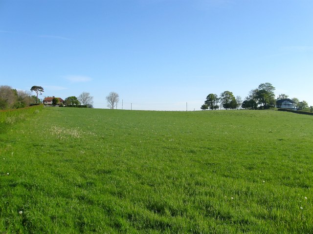
Image: © Simon Carey Taken: 3 May 2014
The name of the field according to Albourne's 1839 tithe map viewed from its southern end next to Shaves Wood Lane. The buildings on the low ridge are Albourne Farm Cottages to the left and the modern Mount Farm to the right.
Images are licensed for reuse under creativecommons.org/licenses/by-sa/2.0
Image Location
Latitude
50.926238
Longitude
-0.223213