John Grundy House from Union Street
Introduction
The photograph on this page of John Grundy House from Union Street by Gerald England as part of the Geograph project.
The Geograph project started in 2005 with the aim of publishing, organising and preserving representative images for every square kilometre of Great Britain, Ireland and the Isle of Man.

There are currently over 7.5m images from over 14,400 individuals and you can help contribute to the project by visiting https://www.geograph.org.uk
John Grundy House from Union Street
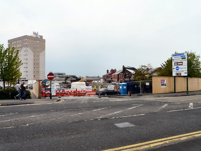
Image: © Gerald England Taken: 30 Apr 2014
John Grundy House (named after a former mayor of Hyde) is an apartment block rising above the Clarendon Square Shopping Centre. Clarendon Place is now visible following the demolition of the multi-storey car park. Compare with the view in March 2013 Image and March 2014 Image
Images are licensed for reuse under creativecommons.org/licenses/by-sa/2.0
Image Location
Latitude
53.451016
Longitude
-2.076455