Conversion of The Wagon, New Road, Mistley
Introduction
The photograph on this page of Conversion of The Wagon, New Road, Mistley by John Baker as part of the Geograph project.
The Geograph project started in 2005 with the aim of publishing, organising and preserving representative images for every square kilometre of Great Britain, Ireland and the Isle of Man.

There are currently over 7.5m images from over 14,400 individuals and you can help contribute to the project by visiting https://www.geograph.org.uk
Conversion of The Wagon, New Road, Mistley
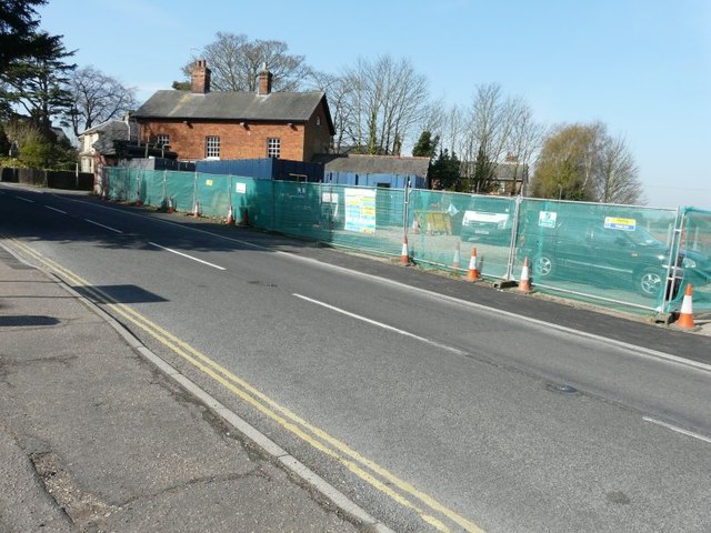
Image: © John Baker Taken: 1 Apr 2014
Planning permission has been granted by Tendring District Council under application number 14/00479/FUL for “extension and alterations to an existing building in association with conversion to a dwelling house and the erection of two additional dwelling houses with associated parking facilities and new vehicular access”.
Images are licensed for reuse under creativecommons.org/licenses/by-sa/2.0
Image Location
Latitude
51.942317
Longitude
1.065535