Corner Field/Three Corner Field
Introduction
The photograph on this page of Corner Field/Three Corner Field by Simon Carey as part of the Geograph project.
The Geograph project started in 2005 with the aim of publishing, organising and preserving representative images for every square kilometre of Great Britain, Ireland and the Isle of Man.

There are currently over 7.5m images from over 14,400 individuals and you can help contribute to the project by visiting https://www.geograph.org.uk
Corner Field/Three Corner Field
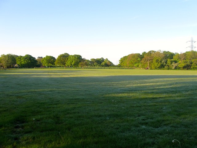
Image: © Simon Carey Taken: 3 May 2014
The name of the fields according to Albourne's 1839 tithe map that have been joined together to make a larger unit. Corner Field originally lay in the foreground and alludes to the corner parish were it is located whilst Three Corner lies to the south of the footpath that runs through this field that was marked as a road on Yeakell & Gardner's 1778-83 map and 1813 OS map. The field lies to the south of Henfield Road and west of Trusslers Hill Lane.
Images are licensed for reuse under creativecommons.org/licenses/by-sa/2.0
Image Location
Latitude
50.940842
Longitude
-0.225503