Nursery Road, Salisbury
Introduction
The photograph on this page of Nursery Road, Salisbury by Jaggery as part of the Geograph project.
The Geograph project started in 2005 with the aim of publishing, organising and preserving representative images for every square kilometre of Great Britain, Ireland and the Isle of Man.

There are currently over 7.5m images from over 14,400 individuals and you can help contribute to the project by visiting https://www.geograph.org.uk
Nursery Road, Salisbury
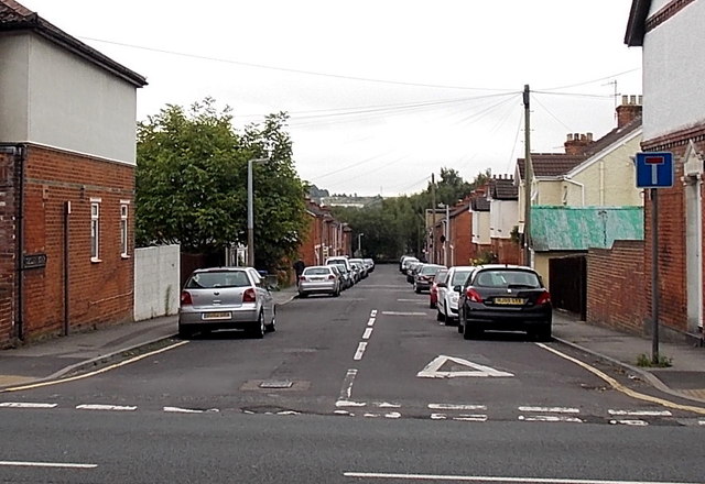
Image: © Jaggery Taken: 21 Sep 2013
Viewed across Wilton Road. Nursery Road is not a through road, ending at a railway perimeter fence about 170 metres ahead.
Images are licensed for reuse under creativecommons.org/licenses/by-sa/2.0
Image Location
Latitude
51.072693
Longitude
-1.815827