Looking east up Waterside Road (B1021)
Introduction
The photograph on this page of Looking east up Waterside Road (B1021) by John Baker as part of the Geograph project.
The Geograph project started in 2005 with the aim of publishing, organising and preserving representative images for every square kilometre of Great Britain, Ireland and the Isle of Man.

There are currently over 7.5m images from over 14,400 individuals and you can help contribute to the project by visiting https://www.geograph.org.uk
Looking east up Waterside Road (B1021)
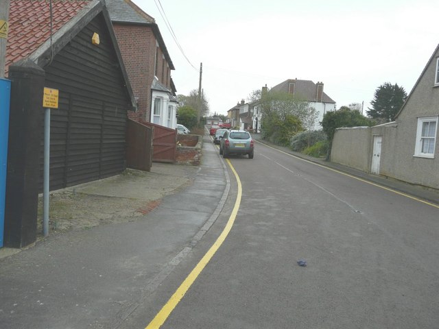
Image: © John Baker Taken: 31 Mar 2014
On the immediate left, the information on the road sign was about when one can park in the road. Parking is banned between 1 March and 30 September, between 8 am and 10 pm, Saturdays, Sundays and Bank Holidays. Further up the road, on the right, with its white-painted walls is the Green Man public house.
Images are licensed for reuse under creativecommons.org/licenses/by-sa/2.0
Image Location
Latitude
51.733818
Longitude
0.888876