Burns Drive, Maybole
Introduction
The photograph on this page of Burns Drive, Maybole by Mary and Angus Hogg as part of the Geograph project.
The Geograph project started in 2005 with the aim of publishing, organising and preserving representative images for every square kilometre of Great Britain, Ireland and the Isle of Man.

There are currently over 7.5m images from over 14,400 individuals and you can help contribute to the project by visiting https://www.geograph.org.uk
Burns Drive, Maybole
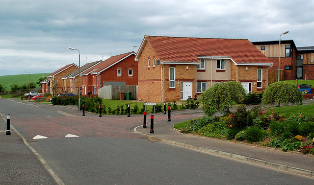
Image: © Mary and Angus Hogg Taken: 2 May 2014
These modern houses on the western edge of Maybole are so new that the street isn't shown on the map yet. Viewed at the junction with Burns Wynd.
Images are licensed for reuse under creativecommons.org/licenses/by-sa/2.0
Image Location
Latitude
55.353939
Longitude
-4.69691