Hamptworth, barrier
Introduction
The photograph on this page of Hamptworth, barrier by Mike Faherty as part of the Geograph project.
The Geograph project started in 2005 with the aim of publishing, organising and preserving representative images for every square kilometre of Great Britain, Ireland and the Isle of Man.

There are currently over 7.5m images from over 14,400 individuals and you can help contribute to the project by visiting https://www.geograph.org.uk
Hamptworth, barrier
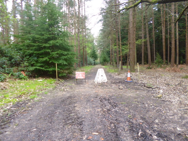
Image: © Mike Faherty Taken: 2 May 2014
Preventing vehicles from using the restricted byway through the plantation West of Home Farm.
Images are licensed for reuse under creativecommons.org/licenses/by-sa/2.0
Image Location


Leaflet Map data © OpenStreetMap
Latitude
50.973102
Longitude
-1.671373