Mayland Mill, Steeple Road
Introduction
The photograph on this page of Mayland Mill, Steeple Road by John Baker as part of the Geograph project.
The Geograph project started in 2005 with the aim of publishing, organising and preserving representative images for every square kilometre of Great Britain, Ireland and the Isle of Man.

There are currently over 7.5m images from over 14,400 individuals and you can help contribute to the project by visiting https://www.geograph.org.uk
Mayland Mill, Steeple Road
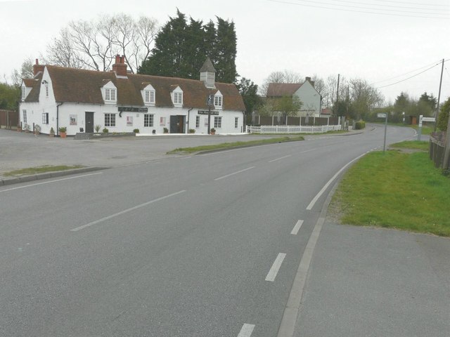
Image: © John Baker Taken: 31 Mar 2014
This building is grade II listed and dates from the 18th century. It began life as a row of cottages before becoming a public house and then a restaurant http://www.britishlistedbuildings.co.uk/en-117400-the-mayland-mill-public-house-mayland-es
Images are licensed for reuse under creativecommons.org/licenses/by-sa/2.0
Image Location
Latitude
51.679961
Longitude
0.772601