Footpath at Sandy Down
Introduction
The photograph on this page of Footpath at Sandy Down by Gillian Thomas as part of the Geograph project.
The Geograph project started in 2005 with the aim of publishing, organising and preserving representative images for every square kilometre of Great Britain, Ireland and the Isle of Man.

There are currently over 7.5m images from over 14,400 individuals and you can help contribute to the project by visiting https://www.geograph.org.uk
Footpath at Sandy Down
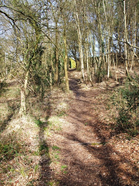
Image: © Gillian Thomas Taken: 5 Apr 2007
This footpath leads between the two lanes at Sandy Down.
Images are licensed for reuse under creativecommons.org/licenses/by-sa/2.0
Image Location
Latitude
50.793416
Longitude
-1.557286