Eastwood Brook, Rayleigh
Introduction
The photograph on this page of Eastwood Brook, Rayleigh by John Myers as part of the Geograph project.
The Geograph project started in 2005 with the aim of publishing, organising and preserving representative images for every square kilometre of Great Britain, Ireland and the Isle of Man.

There are currently over 7.5m images from over 14,400 individuals and you can help contribute to the project by visiting https://www.geograph.org.uk
Eastwood Brook, Rayleigh
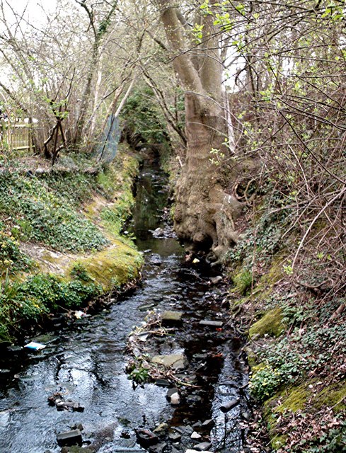
Image: © John Myers Taken: 10 Apr 2007
Still wild behind the Silver Jubilee public house but shortly to be restrained between concrete banks for the rest of its journey through Eastwood to the estuary of the Roach east of Rochford.
Images are licensed for reuse under creativecommons.org/licenses/by-sa/2.0
Image Location


Leaflet Map data © OpenStreetMap
Latitude
51.57453
Longitude
0.629205