Bobbers Mill Bridge and Alfreton Road
Introduction
The photograph on this page of Bobbers Mill Bridge and Alfreton Road by John Sutton as part of the Geograph project.
The Geograph project started in 2005 with the aim of publishing, organising and preserving representative images for every square kilometre of Great Britain, Ireland and the Isle of Man.

There are currently over 7.5m images from over 14,400 individuals and you can help contribute to the project by visiting https://www.geograph.org.uk
Bobbers Mill Bridge and Alfreton Road
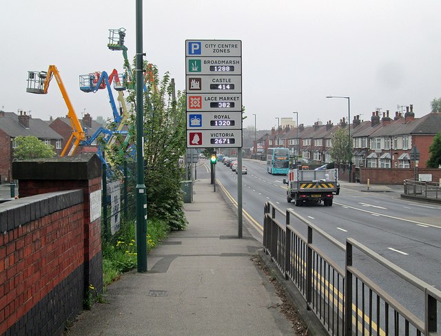
Image: © John Sutton Taken: 29 Apr 2014
Looking towards the city towards the end of the rush hour on a misty April Tuesday, with plenty of parking spaces in the city-centre multi-storeys. To the left is the parapet of the part of the bridge which crosses the River Leen. A City Transport Turquoise Line No 77 is making for Aspley Lane and Strelley.
Images are licensed for reuse under creativecommons.org/licenses/by-sa/2.0
Image Location
Latitude
52.965615
Longitude
-1.181676