Sticil ger the Grove Hall / Stile near the Grove Hall
Introduction
The photograph on this page of Sticil ger the Grove Hall / Stile near the Grove Hall by Alan Richards as part of the Geograph project.
The Geograph project started in 2005 with the aim of publishing, organising and preserving representative images for every square kilometre of Great Britain, Ireland and the Isle of Man.

There are currently over 7.5m images from over 14,400 individuals and you can help contribute to the project by visiting https://www.geograph.org.uk
Sticil ger the Grove Hall / Stile near the Grove Hall
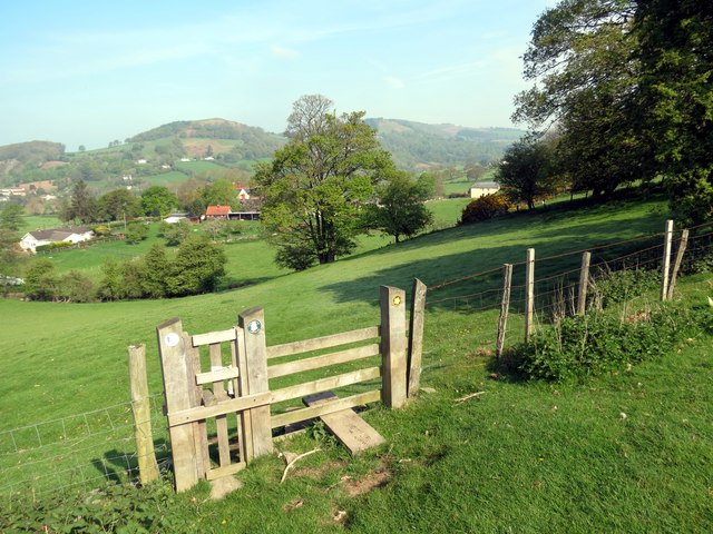
Image: © Alan Richards Taken: 29 Apr 2014
Sticil ar lwybr cyhoeddus ger The Grove Hall. Dilyna llwybr hirbell Clawdd Offa y ffordd hon hefyd. A stile on a public footpath near The Grove Hall. The long distance Offa's Dyke Path also comes this way.
Images are licensed for reuse under creativecommons.org/licenses/by-sa/2.0
Image Location
Latitude
53.215424
Longitude
-3.343404