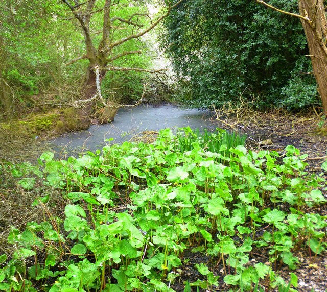
Water in the Belgian Moat
Introduction
The photograph on this page of Water in the Belgian Moat by Des Blenkinsopp as part of the Geograph project.
The Geograph project started in 2005 with the aim of publishing, organising and preserving representative images for every square kilometre of Great Britain, Ireland and the Isle of Man.
There are currently over 7.5m images from over 14,400 individuals and you can help contribute to the project by visiting https://www.geograph.org.uk

Image: © Des Blenkinsopp Taken: 17 Apr 2014
A bit of a murky picture, but it's very overgrown in this bit. This is the southernmost section of the fortification around a large pre Roman town. The map gives several names to this site, the complete settlement is called a Belgic Oppidum, this section is called The Slad, while the deep ditch and earth bank on the western side is called Devils Dyke. Oppidum was a term used by Julius Caesar for the fortified towns built by the Celtic people of northern Europe. I guess the place is under some sort of protection as an ancient site, but there's no obvious preservation going on. The Devils Dyke bit is still quite impressive, the middle bit is farmed, but this bit is just a line of boggy woodland. More about Oppidums in general on http://en.wikipedia.org/wiki/Oppidum

