Start of the route to the Fereneze Braes in Barrhead
Introduction
The photograph on this page of Start of the route to the Fereneze Braes in Barrhead by G Laird as part of the Geograph project.
The Geograph project started in 2005 with the aim of publishing, organising and preserving representative images for every square kilometre of Great Britain, Ireland and the Isle of Man.

There are currently over 7.5m images from over 14,400 individuals and you can help contribute to the project by visiting https://www.geograph.org.uk
Start of the route to the Fereneze Braes in Barrhead
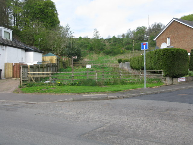
Image: © G Laird Taken: 29 Apr 2014
This rather inauspicious spot between 2 houses is the start of an excellent walk over the Fereneze Braes. It is worth noting that though there are clearly defined paths on the Fereneze Braes, they rarely correspond to paths marked on the OS map. However the routes are so well signposted that a map is really not required. At the start you have to squeeze through a small gap in parallel fences. There are a few more like this on the walk. This is clearly designed to make it very difficult to take even a bike - a good idea.
Images are licensed for reuse under creativecommons.org/licenses/by-sa/2.0
Image Location
Latitude
55.80351
Longitude
-4.40046