Firemark, Lodge Farmhouse, Granby
Introduction
The photograph on this page of Firemark, Lodge Farmhouse, Granby by Alan Murray-Rust as part of the Geograph project.
The Geograph project started in 2005 with the aim of publishing, organising and preserving representative images for every square kilometre of Great Britain, Ireland and the Isle of Man.

There are currently over 7.5m images from over 14,400 individuals and you can help contribute to the project by visiting https://www.geograph.org.uk
Firemark, Lodge Farmhouse, Granby
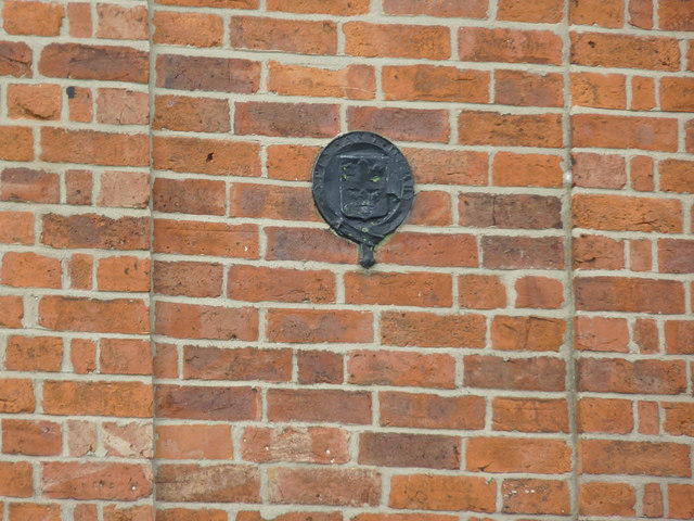
Image: © Alan Murray-Rust Taken: 27 Apr 2014
Issued by the Nottinghamshire and Derbyshire Fire and Life Assurance Co which was in business between 1835 and 1869. See http://www.geograph.org.uk/photo/3955491 for location.
Images are licensed for reuse under creativecommons.org/licenses/by-sa/2.0
Image Location
Latitude
52.918169
Longitude
-0.885559