Cambret Farm
Introduction
The photograph on this page of Cambret Farm by Andy Farrington as part of the Geograph project.
The Geograph project started in 2005 with the aim of publishing, organising and preserving representative images for every square kilometre of Great Britain, Ireland and the Isle of Man.

There are currently over 7.5m images from over 14,400 individuals and you can help contribute to the project by visiting https://www.geograph.org.uk
Cambret Farm
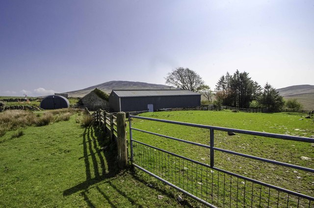
Image: © Andy Farrington Taken: 29 Apr 2014
Found at the end of a long single track road that rises from Carsluith to this moorland spot west of Cairnharrow Hill which can be seen in the background behind the barn. The farm also sits on the line of a footpath that goes from Claughreid to the Old Military Road across the moors.
Images are licensed for reuse under creativecommons.org/licenses/by-sa/2.0
Image Location
Latitude
54.882732
Longitude
-4.317315