Kinch Allotments, Preston
Introduction
The photograph on this page of Kinch Allotments, Preston by David Howard as part of the Geograph project.
The Geograph project started in 2005 with the aim of publishing, organising and preserving representative images for every square kilometre of Great Britain, Ireland and the Isle of Man.

There are currently over 7.5m images from over 14,400 individuals and you can help contribute to the project by visiting https://www.geograph.org.uk
Kinch Allotments, Preston
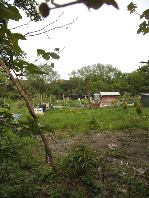
Image: © David Howard Taken: 29 Apr 2014
Although few people are aware of it, the area between Wembley Park and Kenton is called Preston on the map, as illustrated by Preston Road and Preston Hill which cross it.
Images are licensed for reuse under creativecommons.org/licenses/by-sa/2.0
Image Location
Latitude
51.576685
Longitude
-0.289749