Stepney Drive
Introduction
The photograph on this page of Stepney Drive by Christopher Hall as part of the Geograph project.
The Geograph project started in 2005 with the aim of publishing, organising and preserving representative images for every square kilometre of Great Britain, Ireland and the Isle of Man.

There are currently over 7.5m images from over 14,400 individuals and you can help contribute to the project by visiting https://www.geograph.org.uk
Stepney Drive
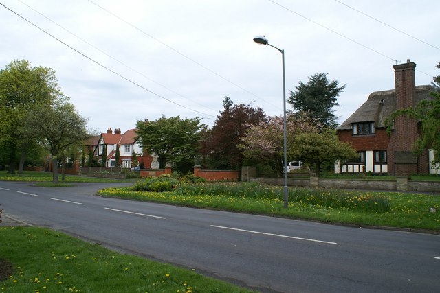
Image: © Christopher Hall Taken: 29 Apr 2014
Stepney Drive in the 1930s was intended to form a bypass for central Scarborough and was therefore laid out to a considerable width, most of which is now grass verges. It is lined by detached houses in substantial grounds. Unusually for a sub-urban house built in 1930 the one of the right has a thatched roof. The drive marks the entrance to Combe Hay Residential Home, see Image
Images are licensed for reuse under creativecommons.org/licenses/by-sa/2.0
Image Location
Latitude
54.278328
Longitude
-0.431257