Footpath between Lower Clough Bank and Syke Side
Introduction
The photograph on this page of Footpath between Lower Clough Bank and Syke Side by Chris Heaton as part of the Geograph project.
The Geograph project started in 2005 with the aim of publishing, organising and preserving representative images for every square kilometre of Great Britain, Ireland and the Isle of Man.

There are currently over 7.5m images from over 14,400 individuals and you can help contribute to the project by visiting https://www.geograph.org.uk
Footpath between Lower Clough Bank and Syke Side
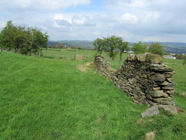
Image: © Chris Heaton Taken: 27 Apr 2014
Following a public footpath beside the distressed wall through pastures
Images are licensed for reuse under creativecommons.org/licenses/by-sa/2.0
Image Location
Latitude
53.780828
Longitude
-2.356286