Power Station Road, Stourport-on-Severn
Introduction
The photograph on this page of Power Station Road, Stourport-on-Severn by P L Chadwick as part of the Geograph project.
The Geograph project started in 2005 with the aim of publishing, organising and preserving representative images for every square kilometre of Great Britain, Ireland and the Isle of Man.

There are currently over 7.5m images from over 14,400 individuals and you can help contribute to the project by visiting https://www.geograph.org.uk
Power Station Road, Stourport-on-Severn
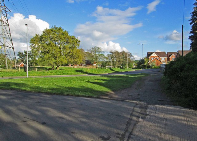
Image: © P L Chadwick Taken: 26 Apr 2014
Power Station Road is the road in the middle. In the foreground is an access road to houses and this part is the start of a public footpath which leads down to the River Severn. To the left of the houses, on Power Station Road, is Watery Lane, which leads to a caravan site. See also:- Image
Images are licensed for reuse under creativecommons.org/licenses/by-sa/2.0
Image Location
Latitude
52.333083
Longitude
-2.272329