A dog-leg bend in the A957 to Banchory
Introduction
The photograph on this page of A dog-leg bend in the A957 to Banchory by Stanley Howe as part of the Geograph project.
The Geograph project started in 2005 with the aim of publishing, organising and preserving representative images for every square kilometre of Great Britain, Ireland and the Isle of Man.

There are currently over 7.5m images from over 14,400 individuals and you can help contribute to the project by visiting https://www.geograph.org.uk
A dog-leg bend in the A957 to Banchory
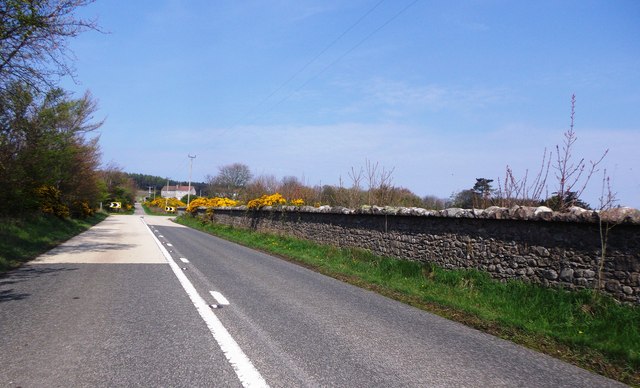
Image: © Stanley Howe Taken: 28 Apr 2014
Skirting around the perimeter wall of Ury Estate. The track ahead at the corner of the main road leads to Highfield.
Images are licensed for reuse under creativecommons.org/licenses/by-sa/2.0
Image Location
Latitude
56.976403
Longitude
-2.24197