Upper Bangor
Introduction
The photograph on this page of Upper Bangor by David Stowell as part of the Geograph project.
The Geograph project started in 2005 with the aim of publishing, organising and preserving representative images for every square kilometre of Great Britain, Ireland and the Isle of Man.

There are currently over 7.5m images from over 14,400 individuals and you can help contribute to the project by visiting https://www.geograph.org.uk
Upper Bangor
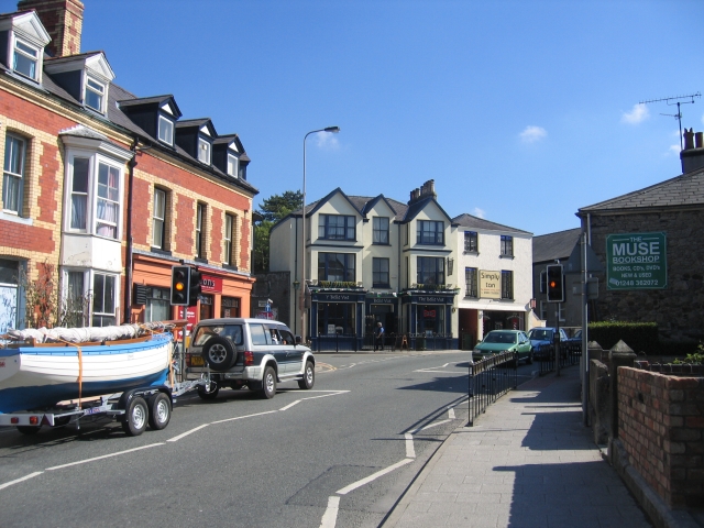
Image: © David Stowell Taken: 17 Aug 2005
An area near the University with a high student population and several watering holes, such as the Belle Vue on the opposite corner.
Images are licensed for reuse under creativecommons.org/licenses/by-sa/2.0
Image Location


Leaflet Map data © OpenStreetMap
Latitude
53.227697
Longitude
-4.134651