New River at Bowes Park
Introduction
The photograph on this page of New River at Bowes Park by Jim Osley as part of the Geograph project.
The Geograph project started in 2005 with the aim of publishing, organising and preserving representative images for every square kilometre of Great Britain, Ireland and the Isle of Man.

There are currently over 7.5m images from over 14,400 individuals and you can help contribute to the project by visiting https://www.geograph.org.uk
New River at Bowes Park
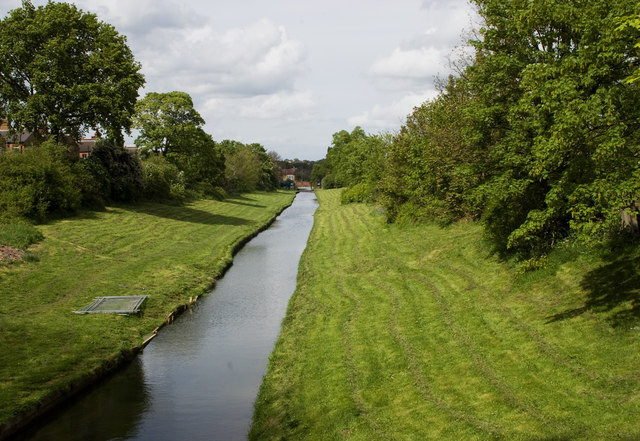
Image: © Jim Osley Taken: 26 Apr 2014
This http://www.cityoflondon.gov.uk/things-to-do/visiting-the-city/archives-and-city-history/london-metropolitan-archives/the-collections/Pages/new-river.aspx outlines the history of the man-made New River and explains its significance in developing the water supply to London.
Images are licensed for reuse under creativecommons.org/licenses/by-sa/2.0
Image Location
Latitude
51.608013
Longitude
-0.115847