Houses on Topsham Road, Countess Wear, Exeter
Introduction
The photograph on this page of Houses on Topsham Road, Countess Wear, Exeter by David Smith as part of the Geograph project.
The Geograph project started in 2005 with the aim of publishing, organising and preserving representative images for every square kilometre of Great Britain, Ireland and the Isle of Man.

There are currently over 7.5m images from over 14,400 individuals and you can help contribute to the project by visiting https://www.geograph.org.uk
Houses on Topsham Road, Countess Wear, Exeter
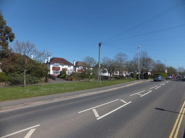
Image: © David Smith Taken: 14 Apr 2014
These houses are set back from the main road (one of the major roads into Exeter) and a service road runs in front of them, now also marked as a cycle path. They represent 20th century expansion of the village of Countess Wear, whose original heart is on the opposite side of the road, closer to the River Exe
Images are licensed for reuse under creativecommons.org/licenses/by-sa/2.0
Image Location
Latitude
50.704034
Longitude
-3.499476