Railway access point
Introduction
The photograph on this page of Railway access point by Thomas Nugent as part of the Geograph project.
The Geograph project started in 2005 with the aim of publishing, organising and preserving representative images for every square kilometre of Great Britain, Ireland and the Isle of Man.

There are currently over 7.5m images from over 14,400 individuals and you can help contribute to the project by visiting https://www.geograph.org.uk
Railway access point
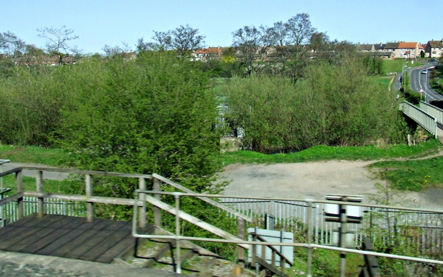
Image: © Thomas Nugent Taken: 18 Apr 2014
At Petteril Bank Road, which can be seen on the right. The footbridge and the pipeline bridge over the River Petteril can be seen. Viewed from a Glasgow bound train.
Images are licensed for reuse under creativecommons.org/licenses/by-sa/2.0
Image Location
Latitude
54.874162
Longitude
-2.9152