Stepped channel from a pond to Gnoll Brook, Neath
Introduction
The photograph on this page of Stepped channel from a pond to Gnoll Brook, Neath by Jaggery as part of the Geograph project.
The Geograph project started in 2005 with the aim of publishing, organising and preserving representative images for every square kilometre of Great Britain, Ireland and the Isle of Man.

There are currently over 7.5m images from over 14,400 individuals and you can help contribute to the project by visiting https://www.geograph.org.uk
Stepped channel from a pond to Gnoll Brook, Neath
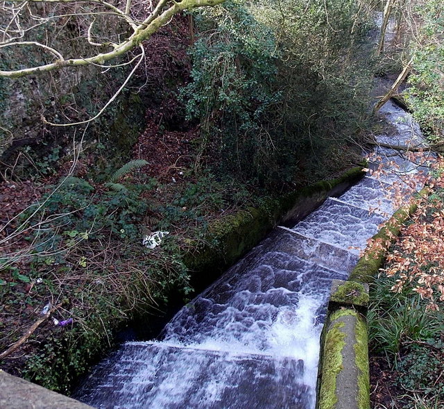
Image: © Jaggery Taken: 16 Feb 2014
Excess water http://www.geograph.org.uk/photo/3951305 from a pond fed by Gnoll Brook tumbles down the channel to rejoin the brook ahead.
Images are licensed for reuse under creativecommons.org/licenses/by-sa/2.0
Image Location
Latitude
51.658885
Longitude
-3.793345