Colwick Loop Road, Netherfield
Introduction
The photograph on this page of Colwick Loop Road, Netherfield by Richard Vince as part of the Geograph project.
The Geograph project started in 2005 with the aim of publishing, organising and preserving representative images for every square kilometre of Great Britain, Ireland and the Isle of Man.

There are currently over 7.5m images from over 14,400 individuals and you can help contribute to the project by visiting https://www.geograph.org.uk
Colwick Loop Road, Netherfield
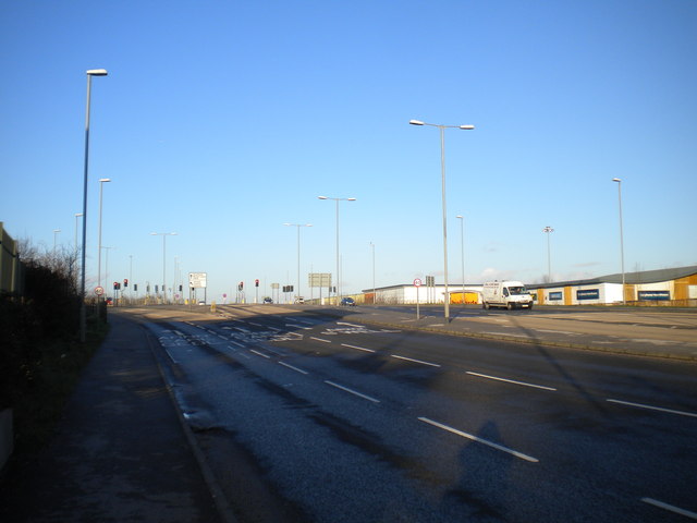
Image: © Richard Vince Taken: 11 Feb 2014
At this point, the new Loop Road continues straight on, while the old Loop Road bears left towards Gedling. The newer road was built to bypass the very narrow part of Burton Road that is constricted by a railway bridge crossing it just east of Shearing Hill.
Images are licensed for reuse under creativecommons.org/licenses/by-sa/2.0
Image Location
Latitude
52.962173
Longitude
-1.068295