Llwybr Bodist Isaf / Bodist Isaf Path
Introduction
The photograph on this page of Llwybr Bodist Isaf / Bodist Isaf Path by Alan Richards as part of the Geograph project.
The Geograph project started in 2005 with the aim of publishing, organising and preserving representative images for every square kilometre of Great Britain, Ireland and the Isle of Man.

There are currently over 7.5m images from over 14,400 individuals and you can help contribute to the project by visiting https://www.geograph.org.uk
Llwybr Bodist Isaf / Bodist Isaf Path
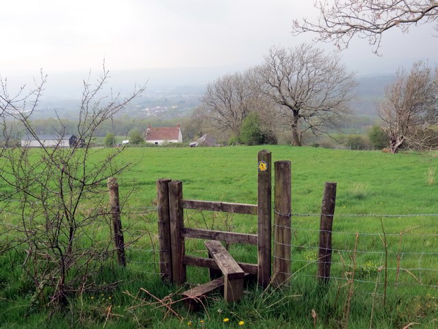
Image: © Alan Richards Taken: 25 Apr 2014
Sticil ar lwybr cyhoeddus sy'n arwain at Ffarm Bodist Isaf sydd i'w gweld yn y pellter. A stile on a public footpath heading towards Bodist Isaf Farm (trans. Ust's abode [lower farm]) visible in the distance.
Images are licensed for reuse under creativecommons.org/licenses/by-sa/2.0
Image Location
Latitude
51.793203
Longitude
-3.947453