Site of Mitcheldean Road station
Introduction
The photograph on this page of Site of Mitcheldean Road station by John Winder as part of the Geograph project.
The Geograph project started in 2005 with the aim of publishing, organising and preserving representative images for every square kilometre of Great Britain, Ireland and the Isle of Man.

There are currently over 7.5m images from over 14,400 individuals and you can help contribute to the project by visiting https://www.geograph.org.uk
Site of Mitcheldean Road station
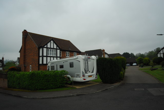
Image: © John Winder Taken: 25 Apr 2014
This house is roughly where the ends of the platforms once were, as far as I can make out. The whole station site - see http://www.youtube.com/watch?v=XeL0uYzH2hY for a rather unclear, but still evocative, video of the station in 1959 - has been given over to a small housing estate. This is rather wonderfully named "Noden Drive" after Reginald Noden, the station master who was in charge here from the 1940s until the station's closure in 1964.
Images are licensed for reuse under creativecommons.org/licenses/by-sa/2.0
Image Location


Leaflet Map data © OpenStreetMap
Latitude
51.888928
Longitude
-2.498339